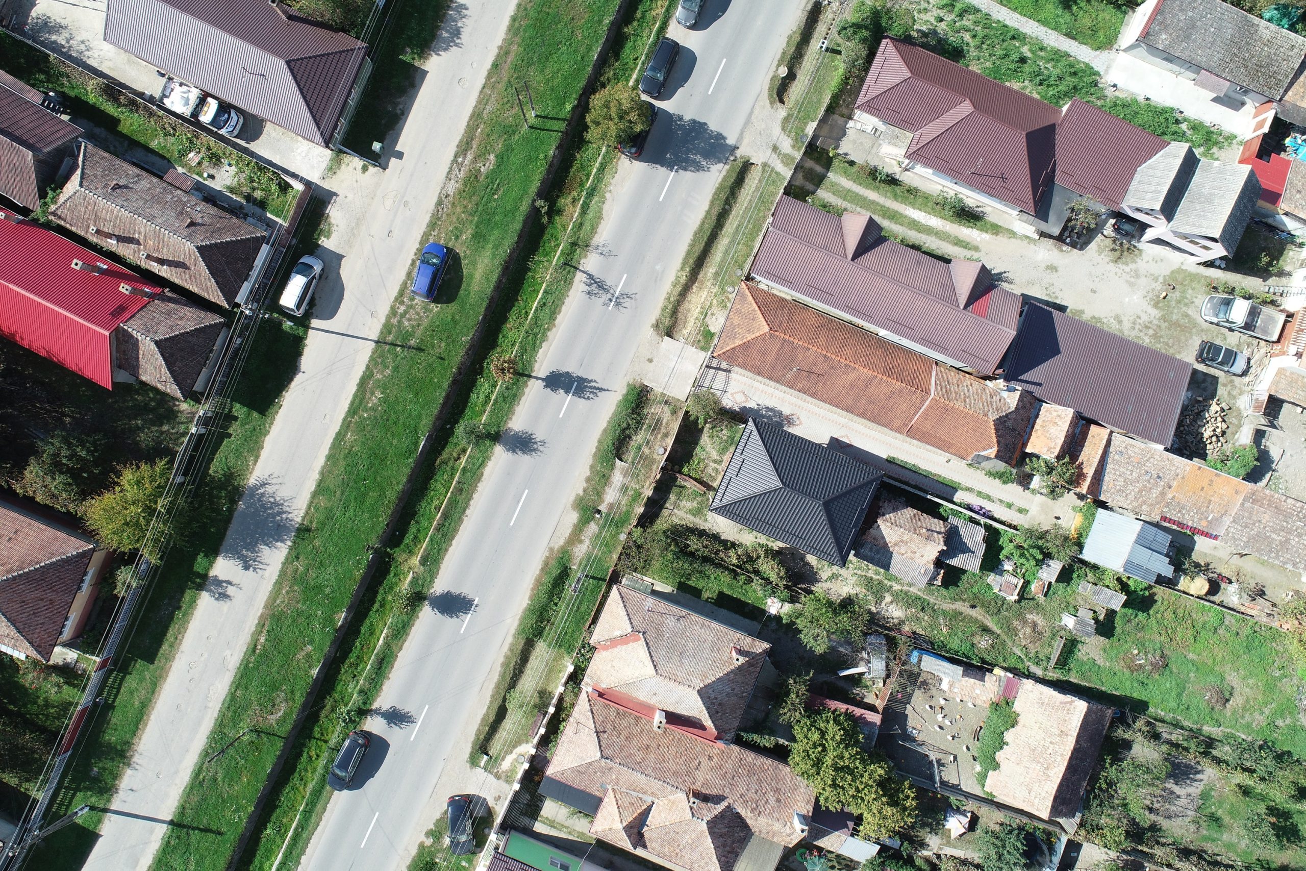
Our related services offer a complete range of solutions for obtaining precise and up-to-date geospatial information. Among these are drone flight services, which allow for detailed information to be obtained about terrain and infrastructure.
Drone flight services for obtaining:
Orthophotoplans with a detail level of up to 2.5 cm/pixel;
3D terrain models (DEM) and contour generation;
Identification of areas with diseased forests/crops.
We have generated over 1,000 hectares of orthophotoplans and DEMs for infrastructure projects.
Other services
Elaboration / updating of land-use planning documents
Urban planning documentation development / update
Elaboration / updating of land-use planning documents