ELABORATION/UPDATING OF LAND-USE PLANNING DOCUMENTS
PATJ
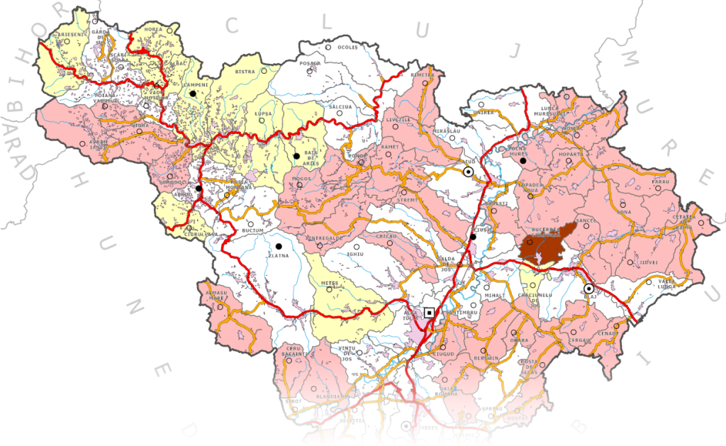
We offer complete services for the elaboration of the County Land Use Plans (PATJ) in GIS format. PATJs are land-use planning documents with a director character and represent the spatial expression of the socio-economic development strategy of the county.
The county land-use plan is correlated with the National Land-use Plan, with zoning land-use plans, with sectoral government strategies/plans, as well as with other development strategies/plans.
PATZ
Inter-communal, inter-city, and inter-county land-use plans are drawn up to solve specific problems that arise in areas covering, partially or entirely, the administrative territory of several administrative-territorial units.
We are involved in the implementation of PATJs for the counties Alba, Brasov and Covasna.